Log in
All resources
Create a design
33,359 Free Images of 1698 Maps
maps in the library of congress
maps in the stadsarchief amsterdam
old maps of amsterdam
published by frans buffa & zonen
maps with cartouches
pennsylvania
atlas van der hagen
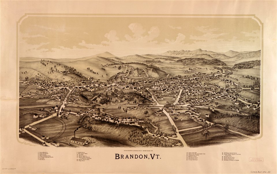
o. h. bailey
new york
maps made in the 17th century
maps made in the 17th century
gerard valck
maps made in the 17th century
gerard valck
maps made in the 17th century
gerard valck
coats of arms of galicia (spain)
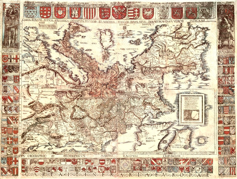
holy roman empire
old maps of south africa
boer
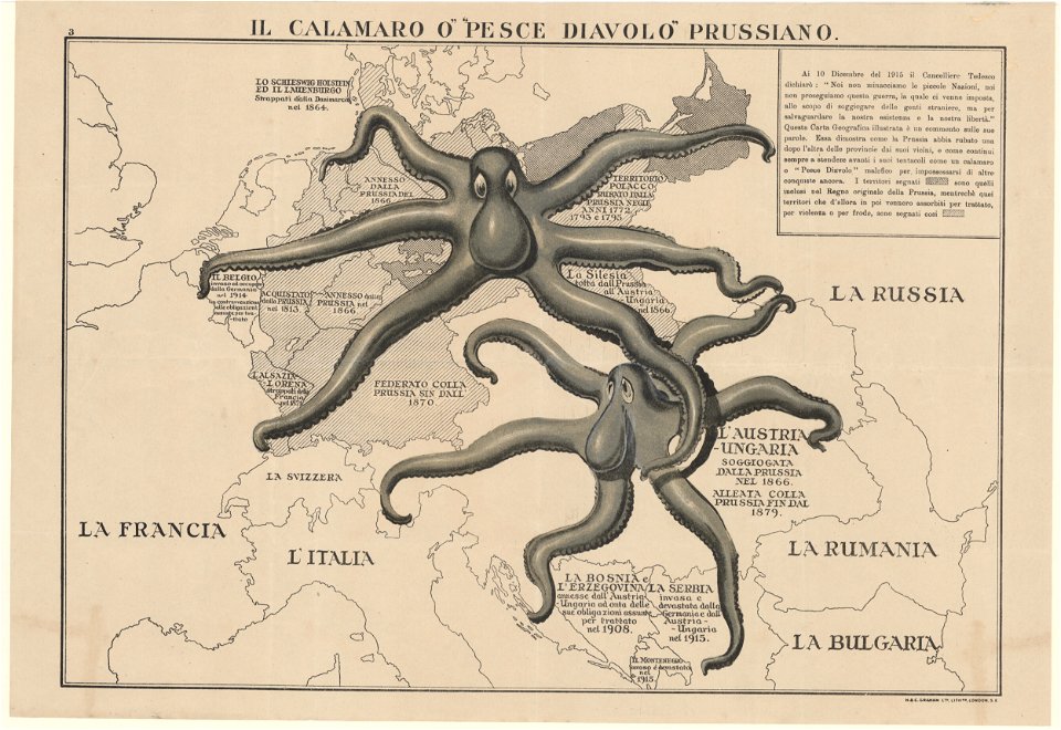
l'illustration
1862
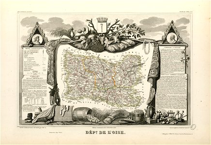
coats of arms of cities in oise
old maps of oise
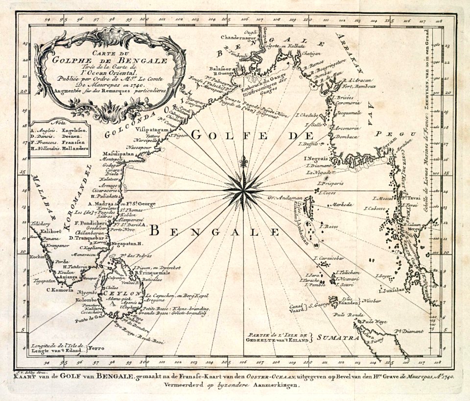
dutch bengal
1747)
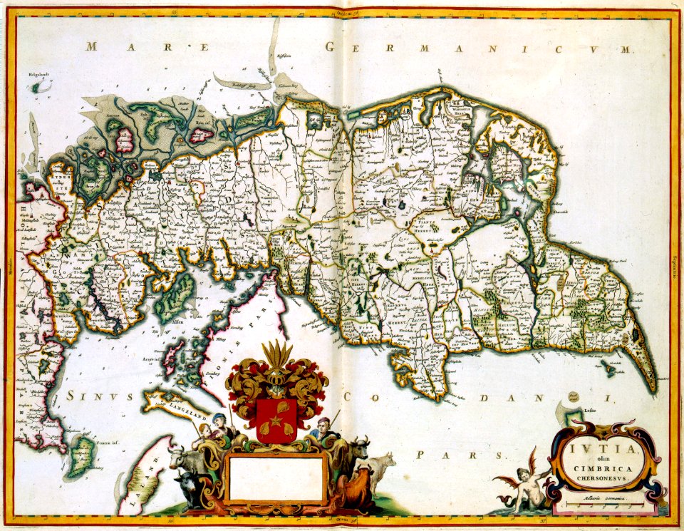
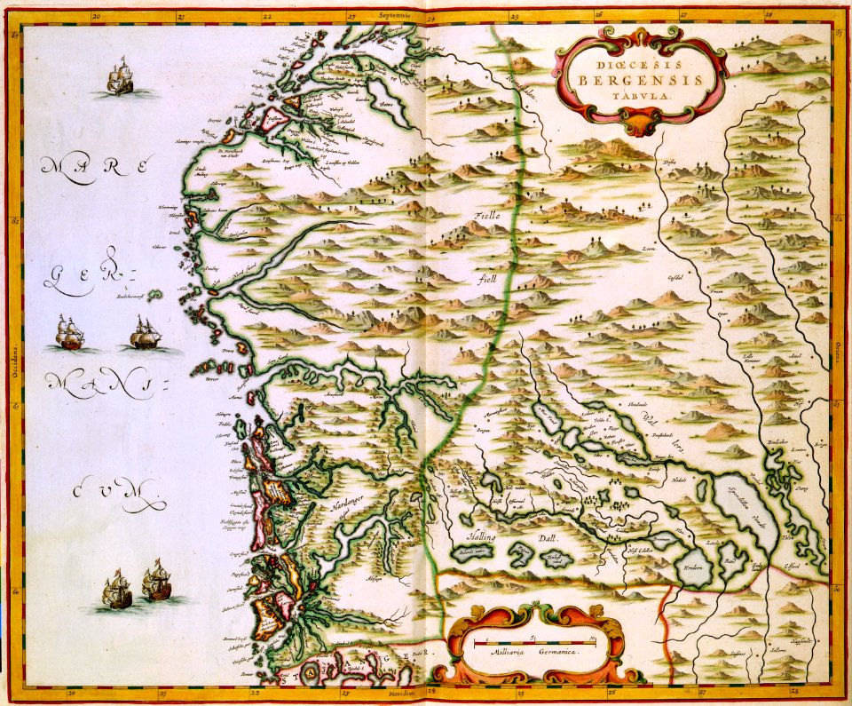
maps by willem and johannes blaeu
wijnhaven, the hague
old maps of austria-hungary
austro-hungarian army
19th-century maps of the spanish empire
1810s maps of south america
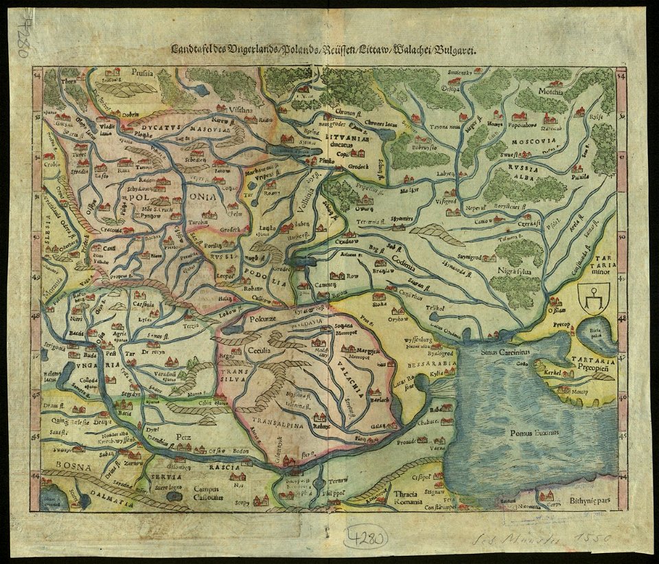
maps by sebastian münster
old maps of slovakia
maps in the library of congress
sailing ships of spain
maps in the library of congress
o. h. bailey
maps in the library of congress
o. h. bailey
new york
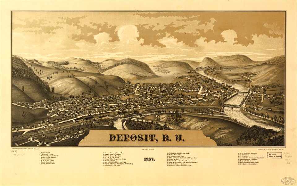
deposits
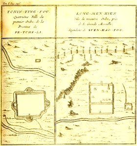
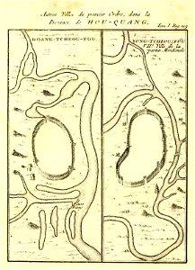
french-language maps of china
hebei
description de la chine
huangzhou district
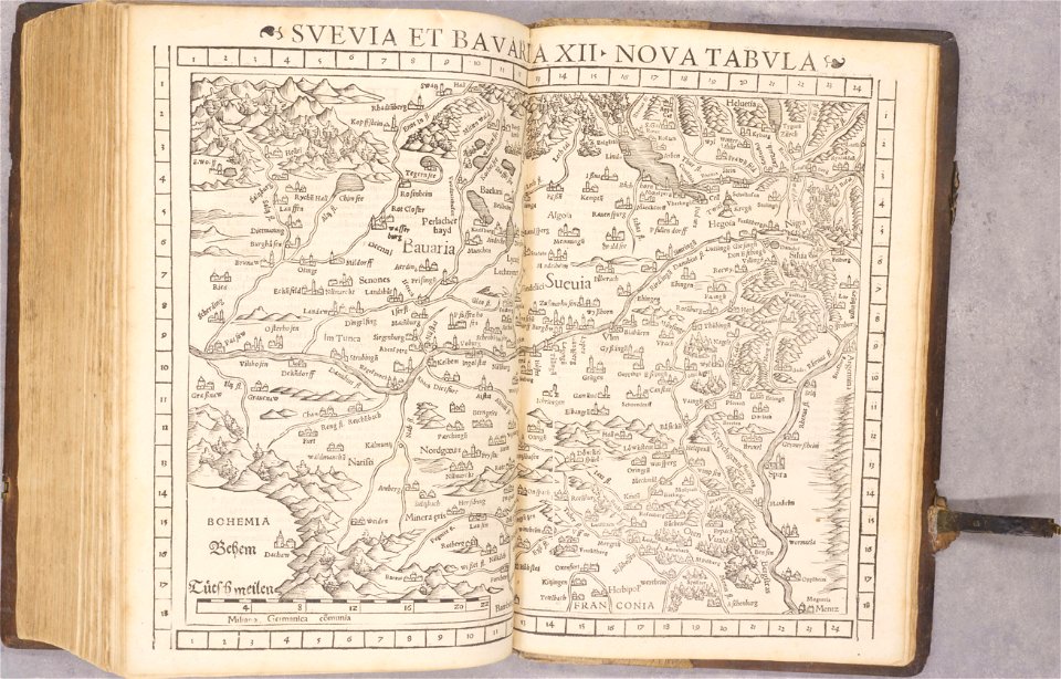
old maps of baden-württemberg
1552
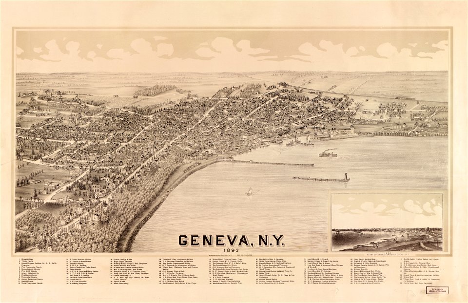
new york
geneva
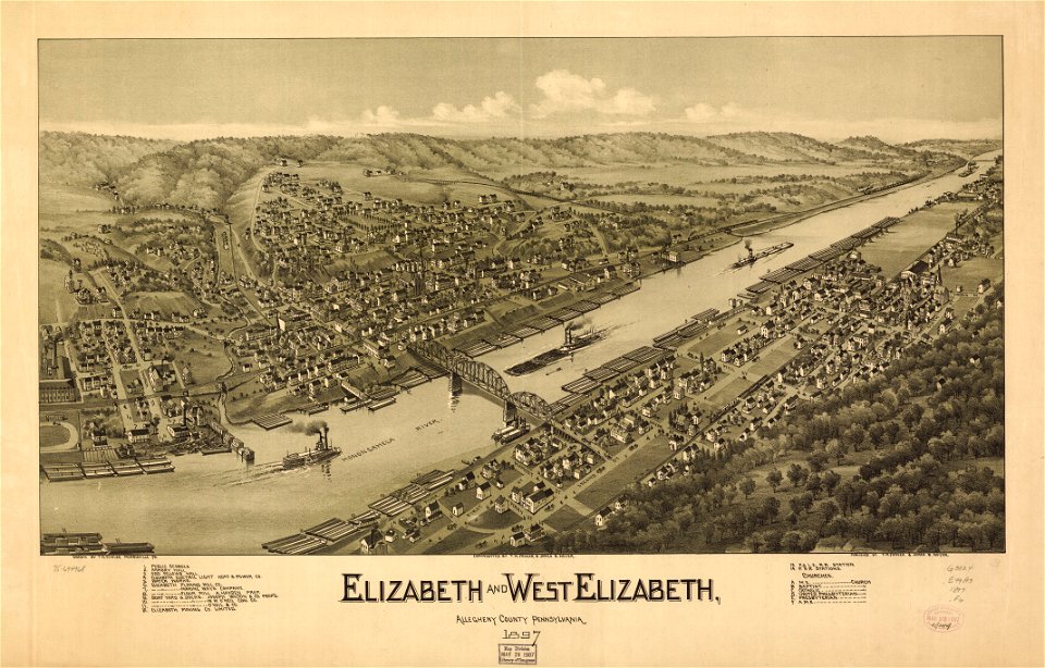
pennsylvania
elizabeth
pennsylvania
elizabeth
maps in the library of congress
new york
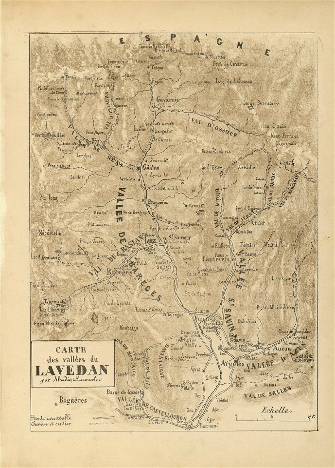
fonds ancely - bibliothèque municipale de toulouse - maps
joseph-bernard abadie
fonds ancely - bibliothèque municipale de toulouse - maps
joseph-bernard abadie
fonds ancely - bibliothèque municipale de toulouse - maps
joseph-bernard abadie
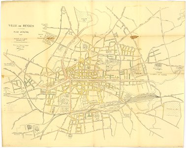
rennes in the 1910s
1914 maps
maps by brockhaus
old maps of cairo
islands of california
nicolas de fer
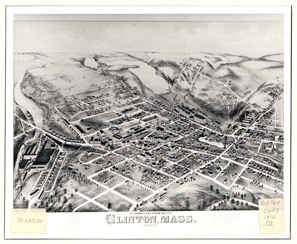
massachusetts
clinton
massachusetts
clinton
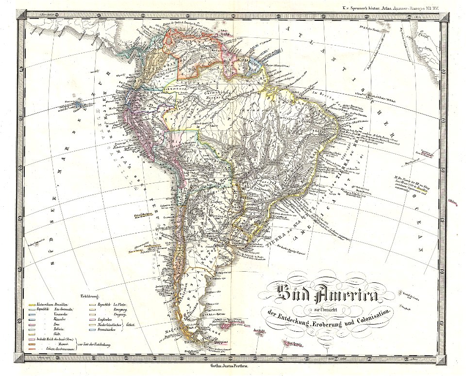
1850s maps of south america
karl spruner von merz
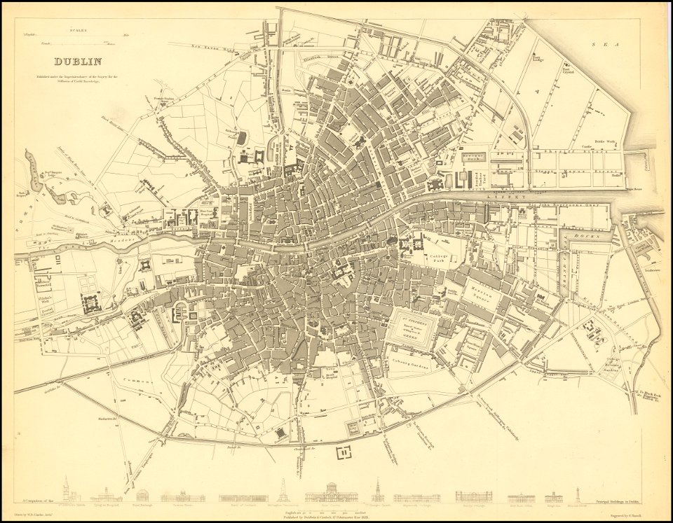
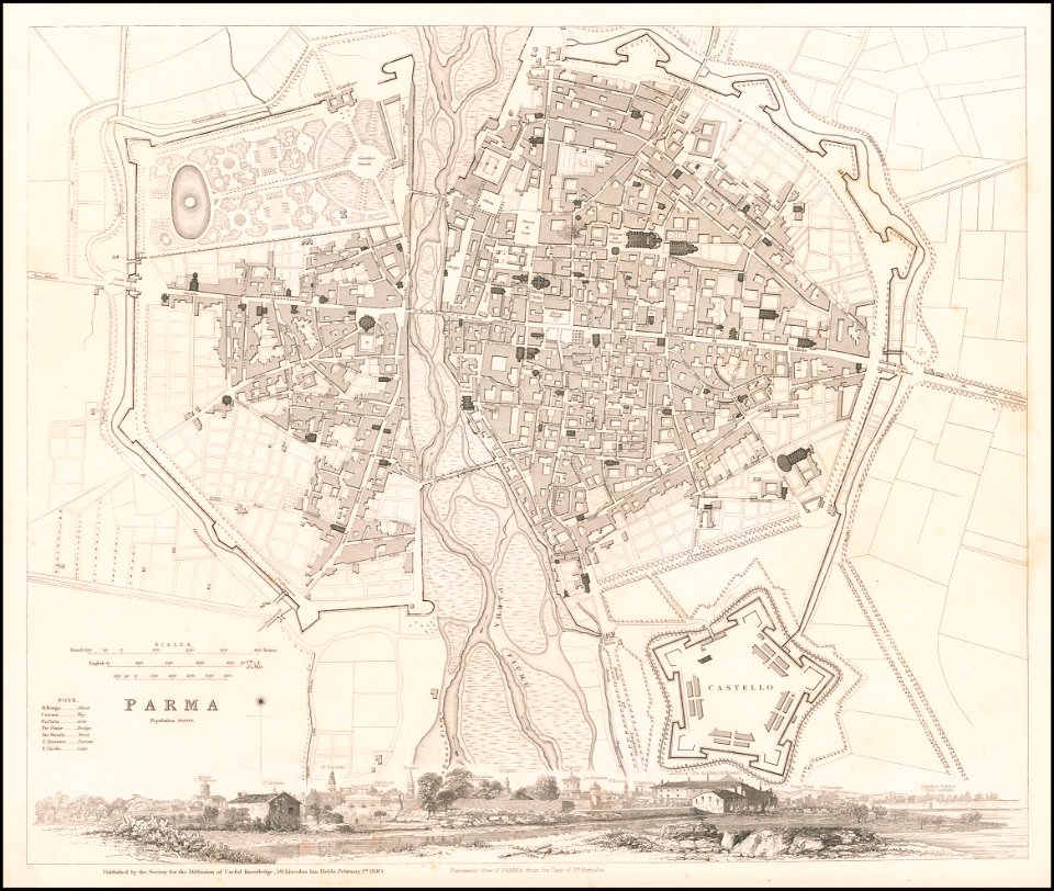
society for the diffusion of useful knowledge (great britain)
old maps of dublin
society for the diffusion of useful knowledge (great britain)
1840 maps
society for the diffusion of useful knowledge (great britain)
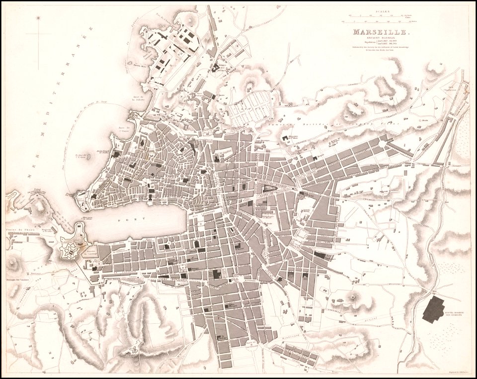
old maps of marseille
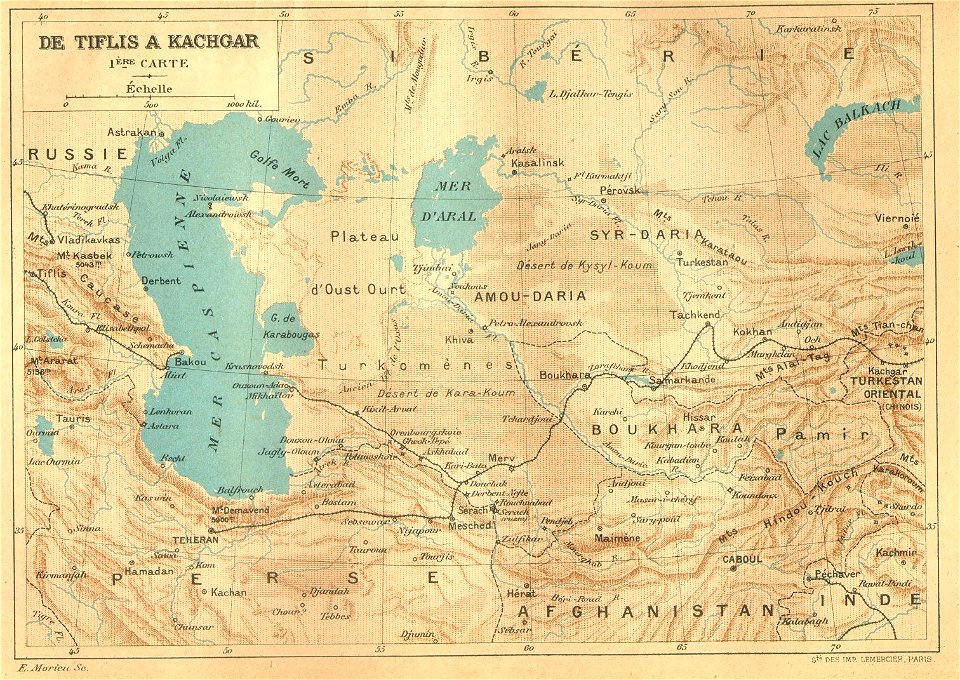
old maps of asia
1892 maps
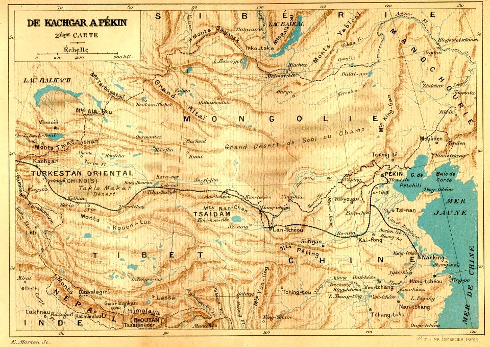
old maps of asia
1892 maps
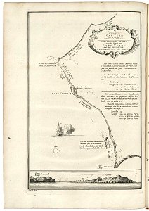
lake george, new york
1768 maps
charts and maps of the royal museums greenwich
18th-century maps of the mediterranean sea
charts and maps of the royal museums greenwich
18th-century maps of the mediterranean sea
charts and maps of the royal museums greenwich
old maps of guangzhou
saint-louis region
1745
maps in the stadsarchief amsterdam
collectie atlas dreesmann
saint-louis region
1665
17th-century maps of africa
1635
jacobus van der schley
maps of west africa
vermont
brandon
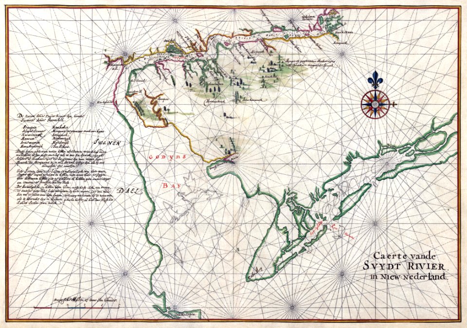
west-indische compagnie
1639 maps
new york
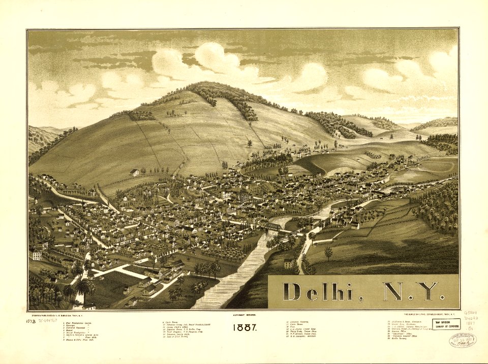
delhi
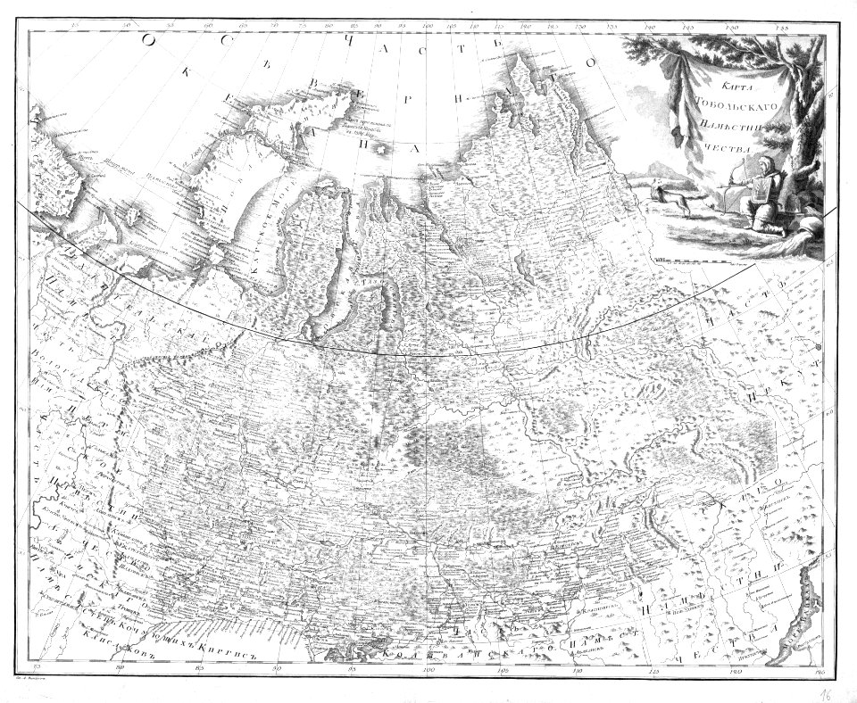
atlas of the russian empire (1792)
old maps of tobolsk governorate
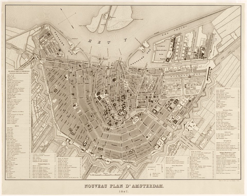
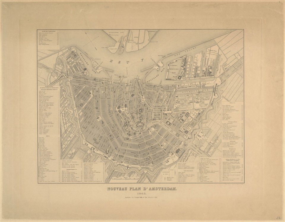
maps in the stadsarchief amsterdam
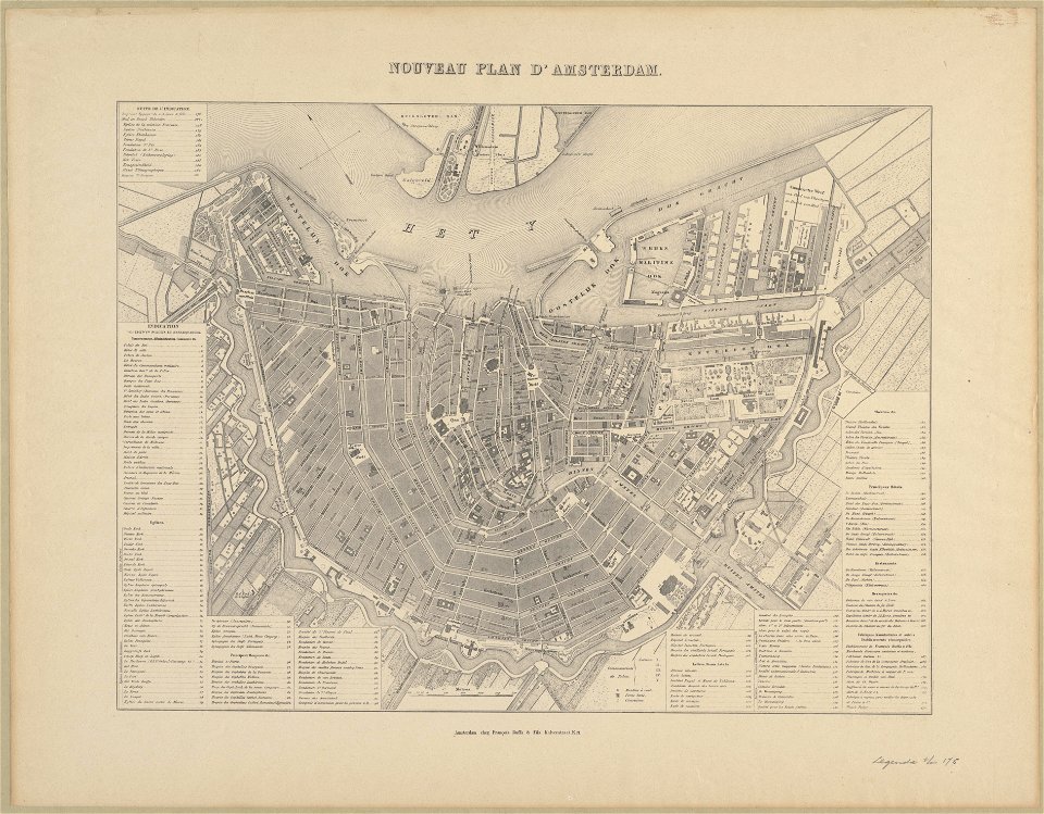
old maps of amsterdam
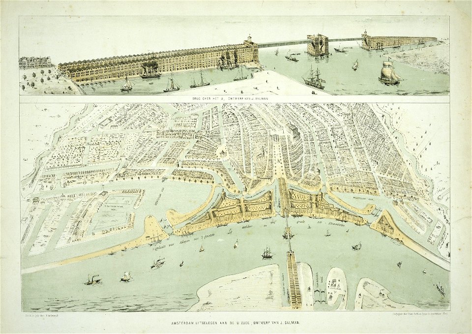
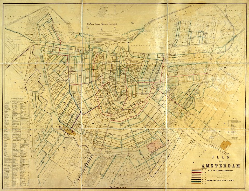
maps in the stadsarchief amsterdam
old maps of amsterdam
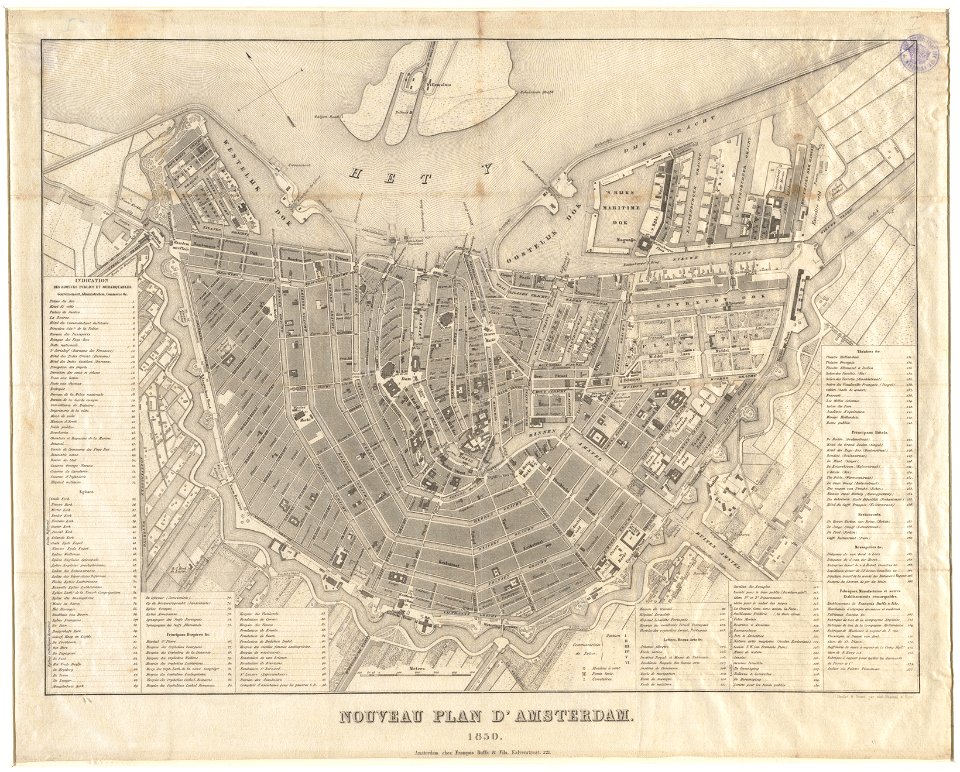
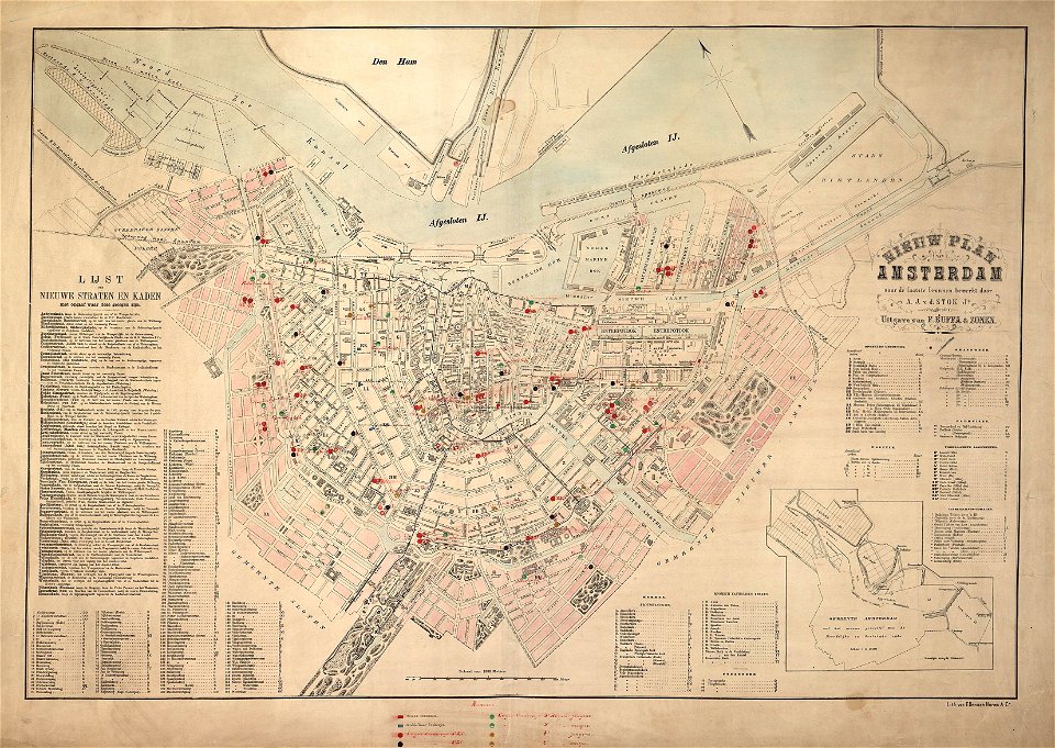
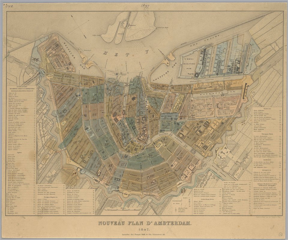
maps in the stadsarchief amsterdam
old maps of amsterdam
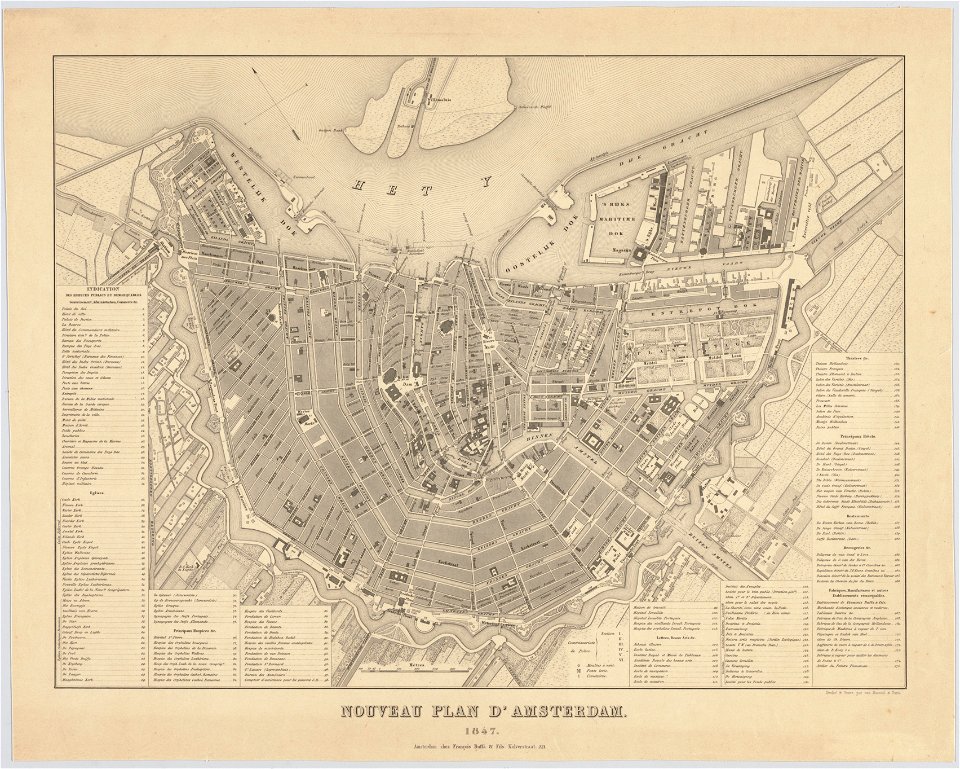
maps in the stadsarchief amsterdam
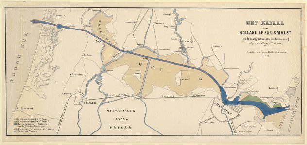
old maps of amsterdam
maps in the stadsarchief amsterdam
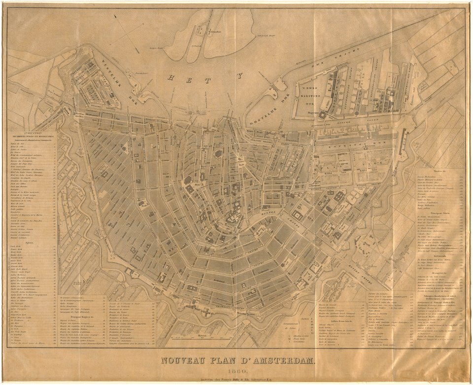
old maps of amsterdam
maps in the stadsarchief amsterdam
old maps of amsterdam
maps in the stadsarchief amsterdam
old maps of amsterdam
maps in the stadsarchief amsterdam
old maps of amsterdam
maps in the stadsarchief amsterdam
old maps of amsterdam
maps in the stadsarchief amsterdam
old maps of amsterdam
maps in the stadsarchief amsterdam
old maps of amsterdam
maps in the stadsarchief amsterdam
old maps of amsterdam
maps in the stadsarchief amsterdam
old maps of amsterdam
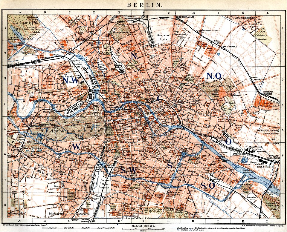
19th-century maps of berlin
maps by brockhaus
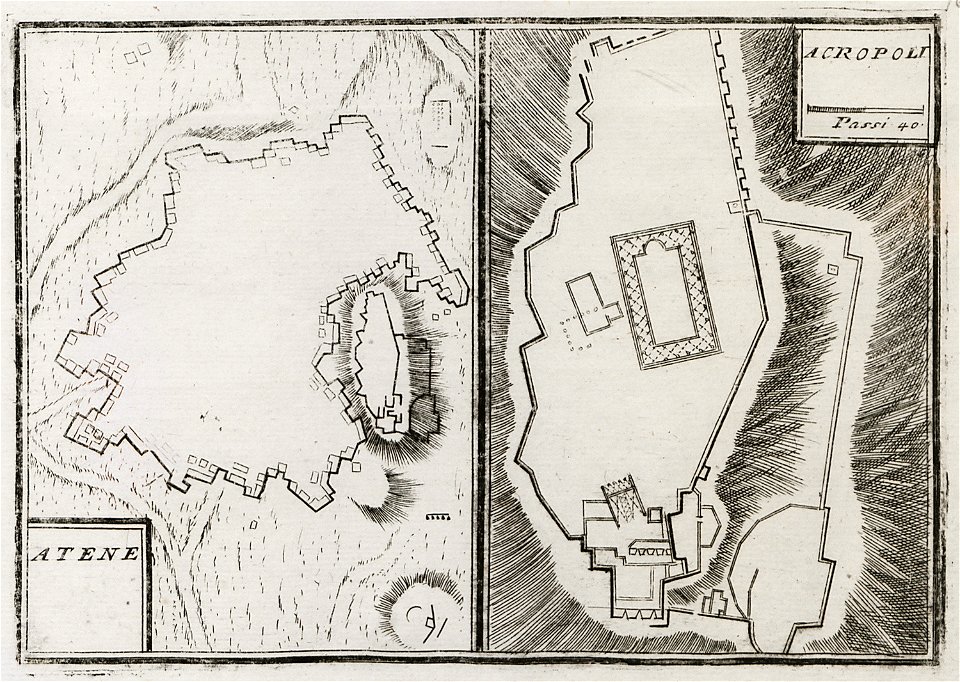
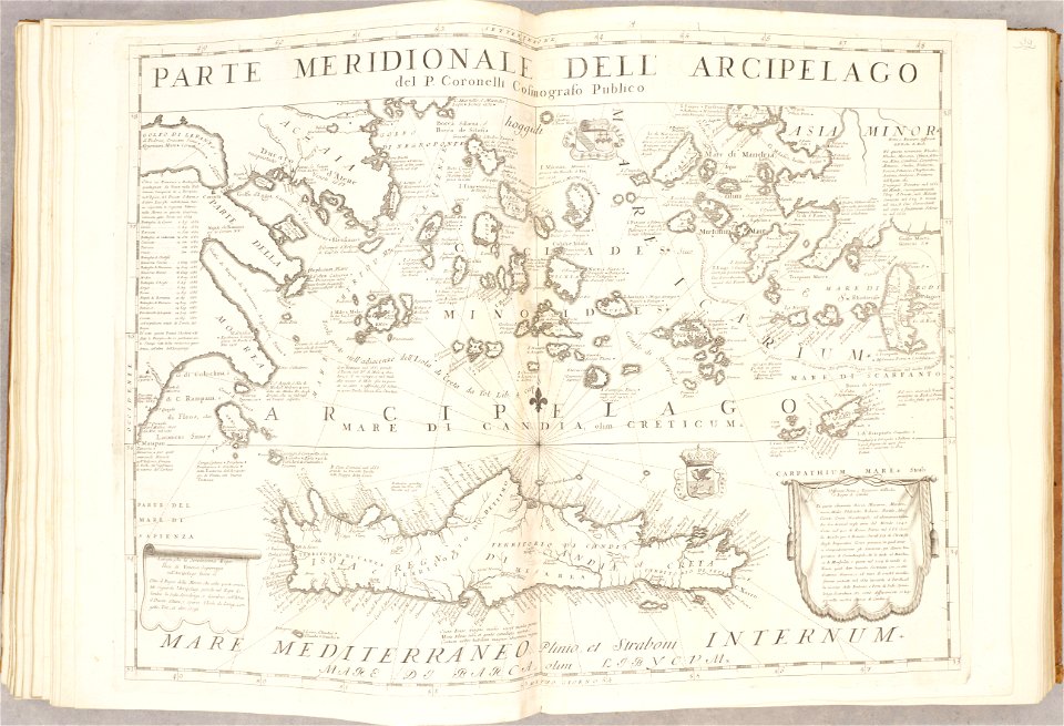
geographical illustrations by coronelli
old maps of athens
old maps of the aegean sea
old maps of crete
drawings in the universitätsbibliothek salzburg
maps made in the 17th century
atlante veneto (raremaps.com) volume 2
old maps of île de ré
old maps of the aegean sea
old maps of greece
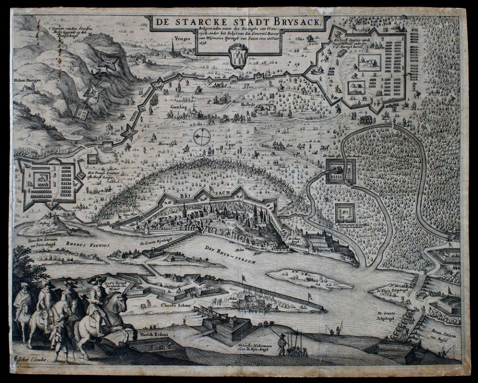
claes jansz. visscher (ii)
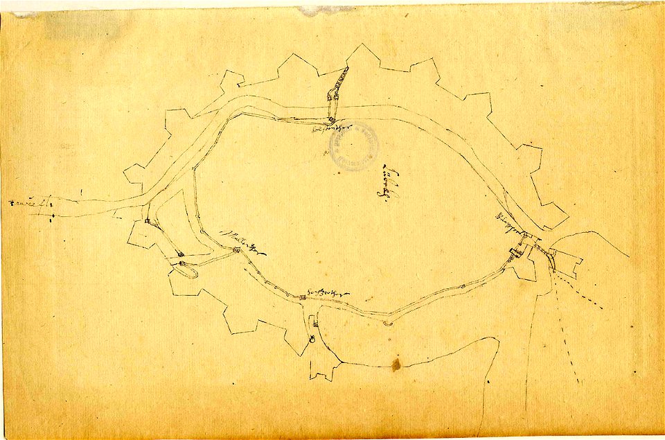
siege
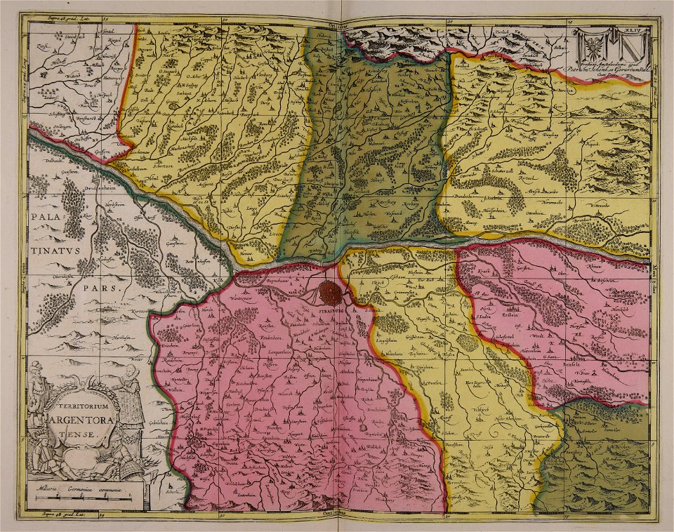
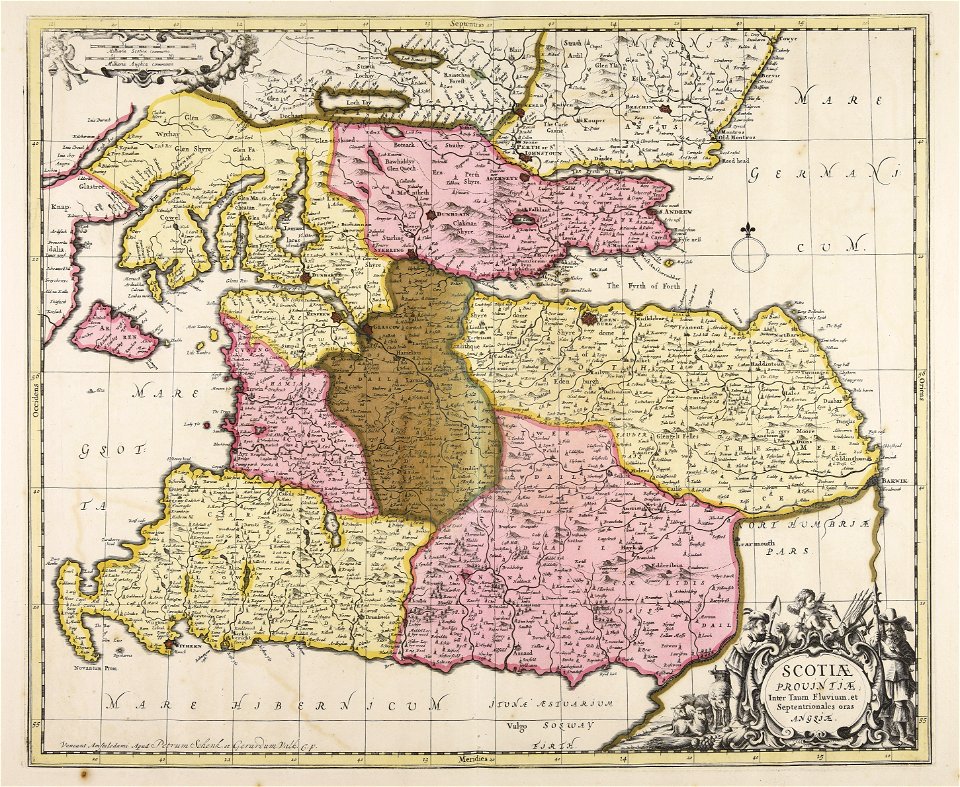
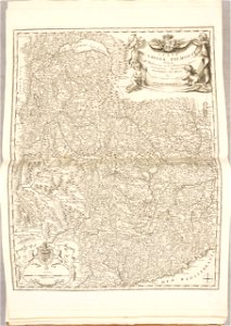
maps with cartouches
atlas van der hagen
maps with cartouches
atlas van der hagen
maps with cartouches
atlas van der hagen
maps with cartouches
mount wutai
maps with cartouches
atlas van der hagen
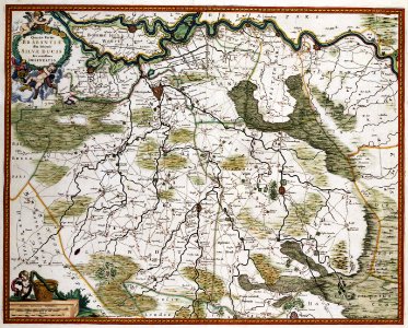
17th-century maps of the netherlands
maps with cartouches
17th-century maps of the netherlands
maps with cartouches
maps with cartouches
atlas van der hagen
17th-century maps of the netherlands
maps with cartouches
maps in the library of congress
d.c.,
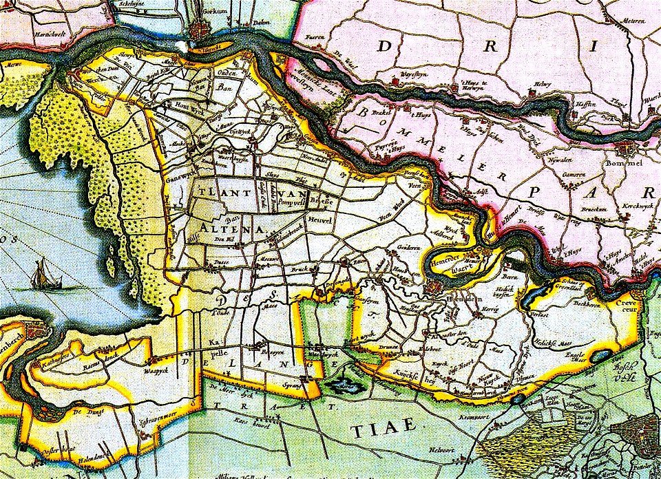
17th-century maps of the netherlands
old maps of north brabant
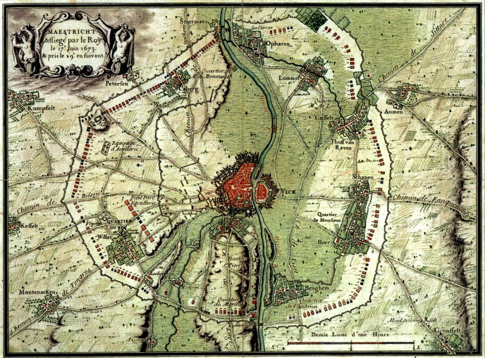
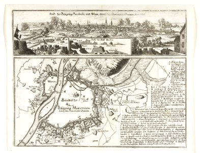
17th-century maps of maastricht
maps of the franco-dutch war
17th-century maps of maastricht
maps of the franco-dutch war
maps in the library of congress
d.c.,
atlante veneto (raremaps.com) volume 1
maps of the bay of kotor
atlante veneto (raremaps.com) volume 2
17th-century maps of piedmont
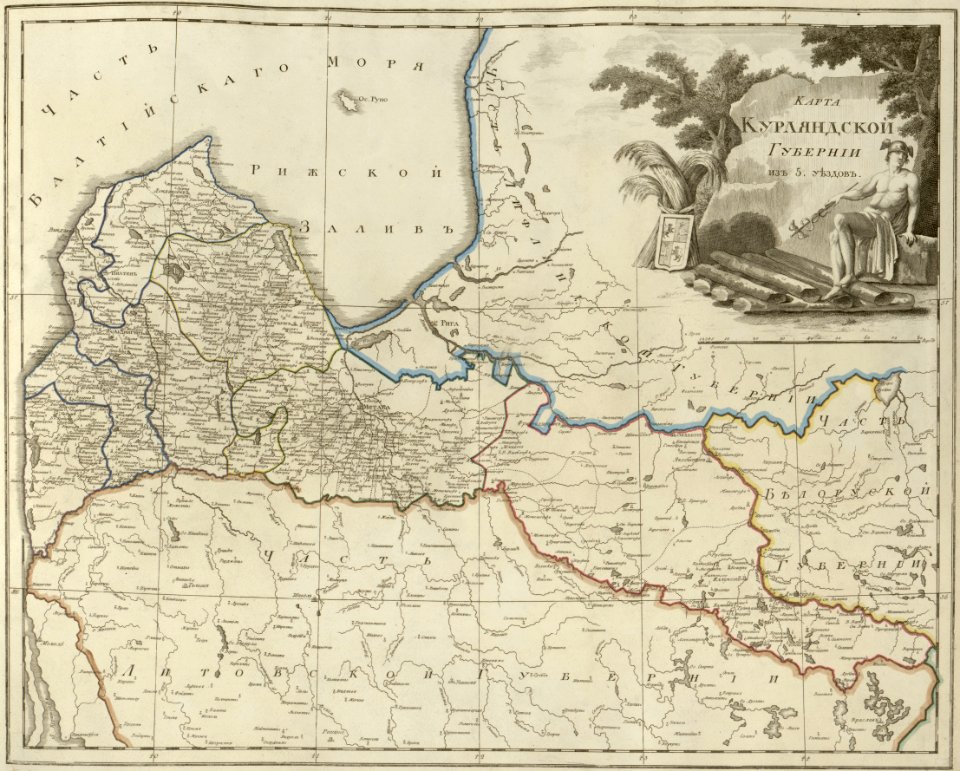
atlas of the russian empire (1800)
old maps of courland governorate
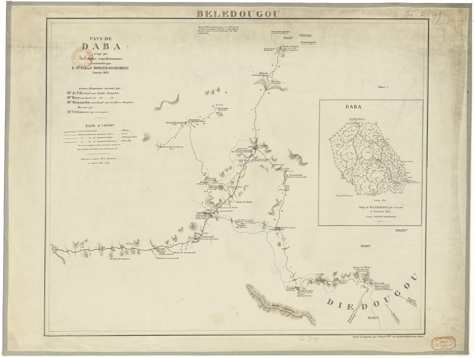
french colonization in africa
military maps
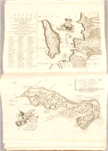
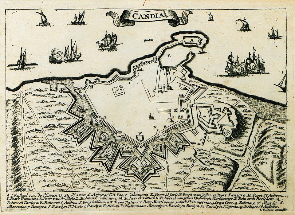
description des principales villes (1690)
old maps of crete
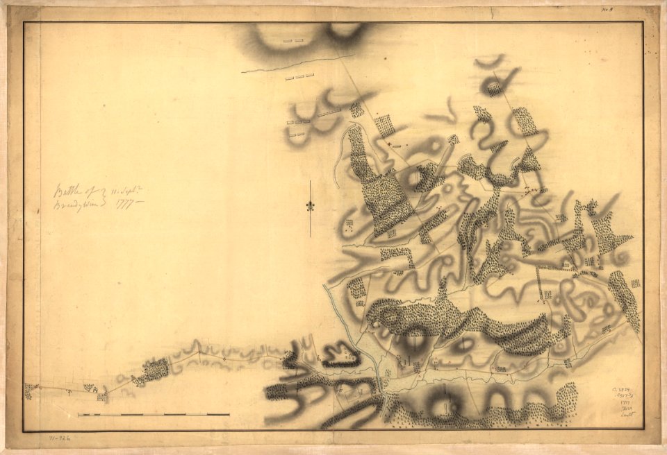
battle of brandywine
pennsylvania
battle of brandywine
pennsylvania
battle of brandywine
pennsylvania
battle of brandywine
pennsylvania
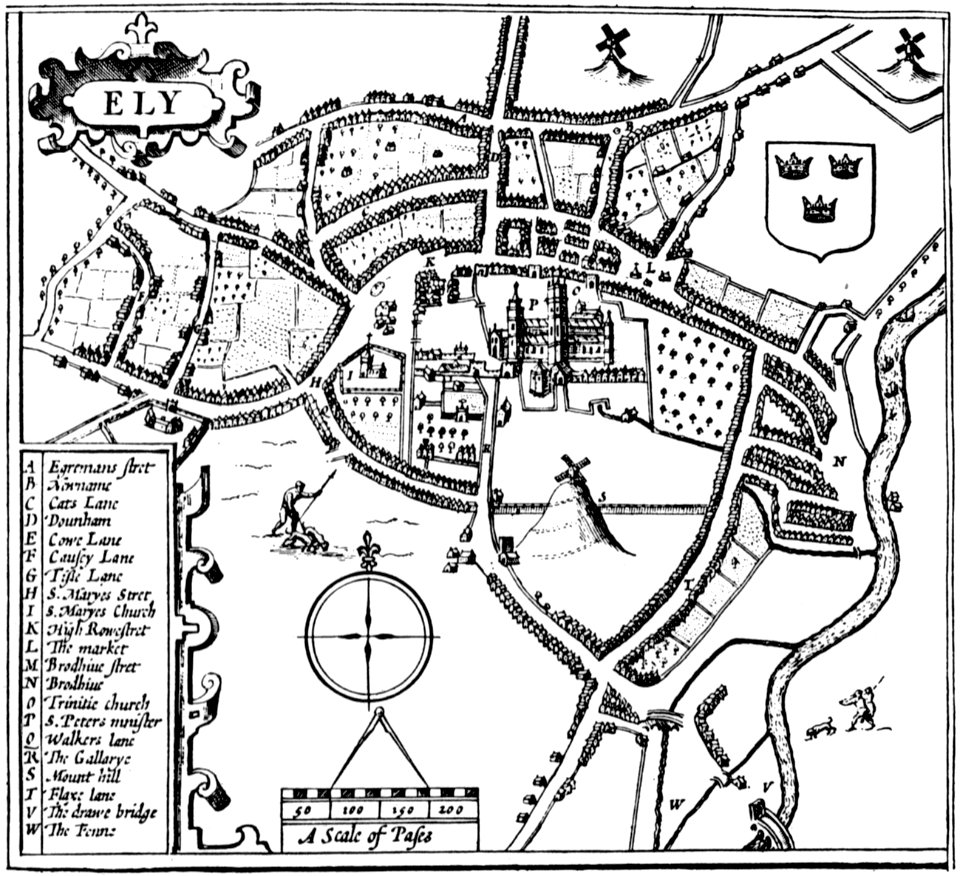
cambridgeshire
ely
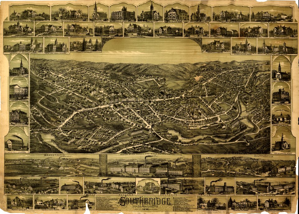
massachusetts
southbridge
new york
geneva
16th-century maps of the black sea
maps made in the 16th century
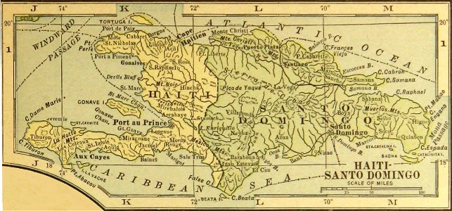
history of the dominican republic
old maps of haiti
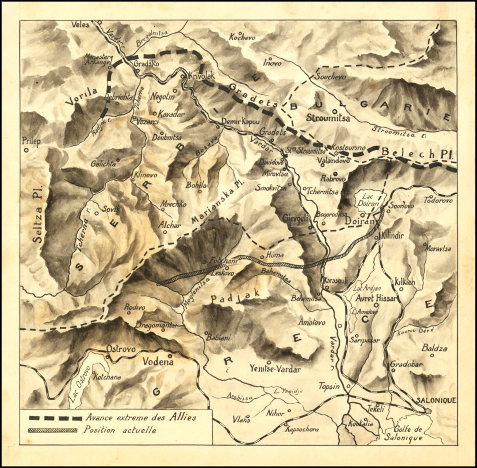
hand-drawn maps and views of world war i battlefields by h.m.
macedonian front maps
provided by landsbókasafn íslands
maps made in the 16th century
4601 - 4700 of 33,359
Next page
/ 334